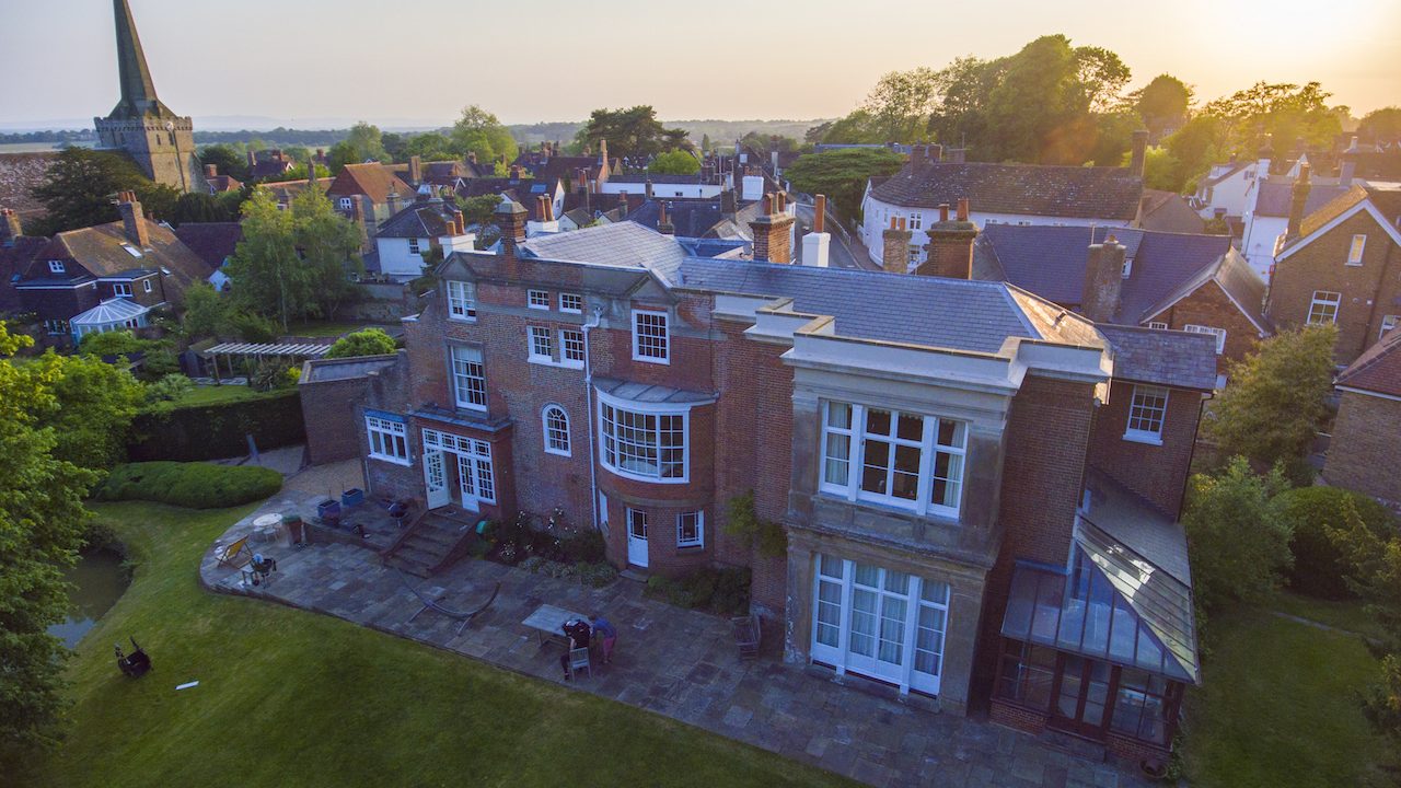
AltiView surveying provides a professional aerial inspection service, enabling easy analysis of potential issues. Also available is a state of the art 3D aerial mapping service, producing a 3D computer model of the lay of the land or structure.
The ability to view high resolution images of a structure, or to capture 4K video of an operation can greatly aid in the understanding of the condition of the structure in question. Media can be provided immediately after capture via SD card or digitally over a preferred file transfer network.
If you require a survey or 3D model produced, please get in touch through our Contact Us page to enquire further into the logistics of this service.