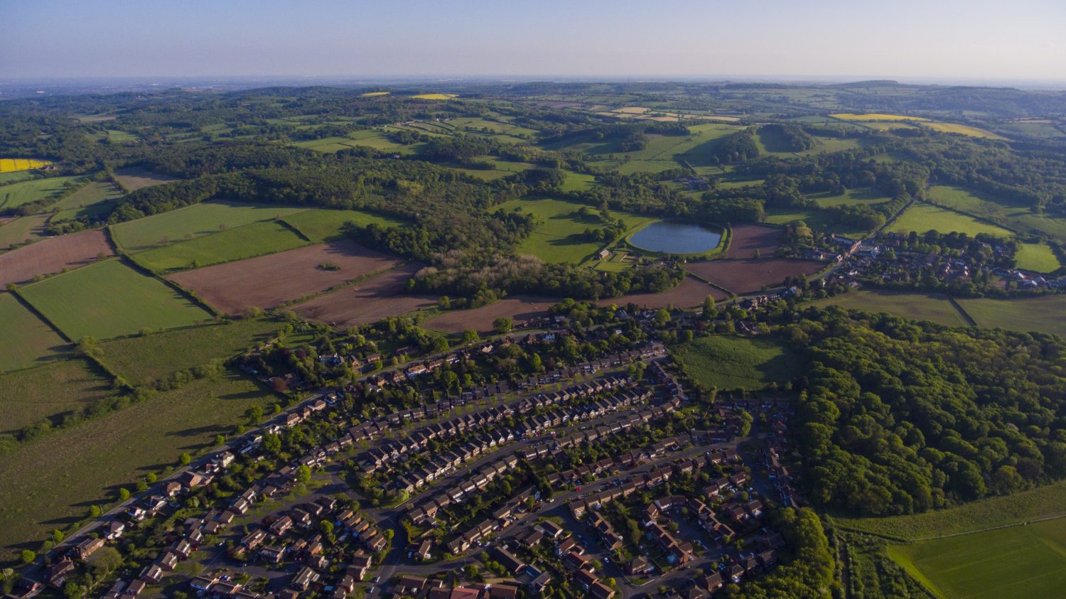
AltiView provides a professional aerial imagery service for all applications, including television, property photography and aerial analysis surveys. Based in both Loughborough and Sussex, we can offer easy access to a large proportion of the country. We utilise state of the art drone technology to capture stable and impressive airborne views of a location.
We offer the highest available aerial video resolution, operating at 4K. Our main drone Pilot in Command has over 10 years flying experience allowing us to offer the most dynamic and complex shots available with minimum set up time. Nothing illustrates our work better than in our showreel, take a look here.
4K
4K resolution video is essential for aerial cinematography, providing finer detail and greater flexibility in post production. AltiView offers a broad range of other High Definition options, including high frame rates for slow motion video along with PAL and NTSC formats.
Photography
Our professional high resolution photography offers a unique perspective on a location or feature. AltiView can provide sharp, crisp images from high altitude in DNG RAW and JPEG formats to suit all types of still photography needs.
Survey
Aerial surveys are an ideal solution to hazard identification on rooftops, walls or large ground based locations. We provide a wealth of imagery options, along with an aerial scanning service outputting a 3D model of the lay of the ground or structure.